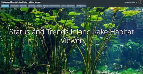
The Michigan Department of Natural Resources has released a web-based mapping tool for the public that provides information on inland lakes throughout the state.
The tool, called Inland Lake Habitat Viewer, features information collected by the DNR, such as temperature, oxygen level, and habitat conditions, of hundreds of Michigan lakes. The viewer can also find a lake of interest with its zoom feature, and offers the amount of plant growth in a lake as well as alkalinity, which shows a body of water’s pH levels.
“We’ve been gathering information for years and we’re thrilled to make it available to the public,” says Joe Nohner, a resource analyst for the DNR’s Fisheries Division. “We think it will serve as a useful tool for those looking to better understand inland lakes they fish or want to protect future generations.”
He says the Inland Lake Habitat Viewer is ideal for fishing trips or for someone who is interested in learning more about lake habitats.
The DNR, which is committed to the conservation, protection, management, and use of natural resources, collects data on various characteristics of Michigan’s 11,000 lakes in an effort to sustain populations of fish, frogs, turtles, and other wildlife.
For more information, visit michigan.gov/fishing.


